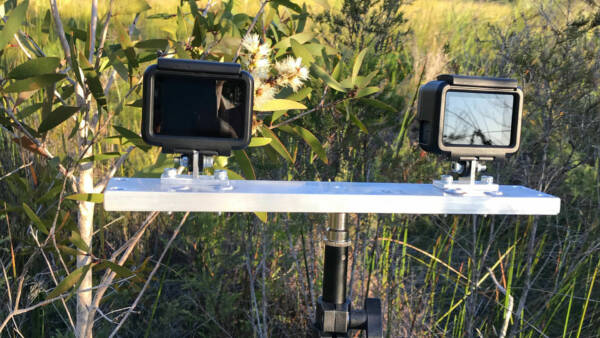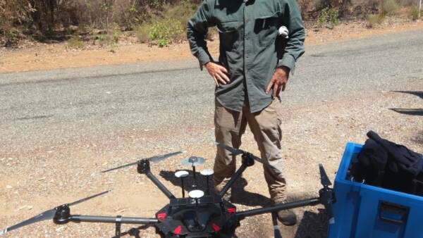
Aerial mapping and modelling of forest flowering and fire
Using satellite data, the CRC for Honey Bee Products used geographical information system, and cloud-processing tools, to investigate changes in forest flowering and the impacts… Read More