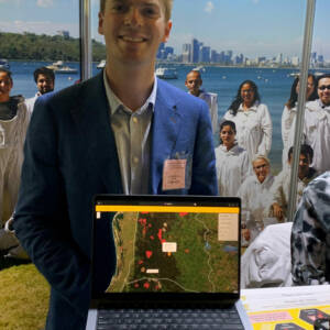
B-spatialTM is a spatial decision support tool to help beekeepers select suitable apiary sites in a changing environment. Geographic Information Systems (GIS) can facilitate the use of landscape information, in space and time, to better understand the resources available to beekeepers across Australia. Combined with information on flowering season, pollen and nectar quality, rainfall data, and burn scar information to track flora recovery, GIS information can help beekeepers select their hive site destinations across the terrain.